Southwest case – 1st Planners meeting

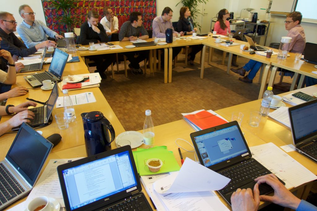
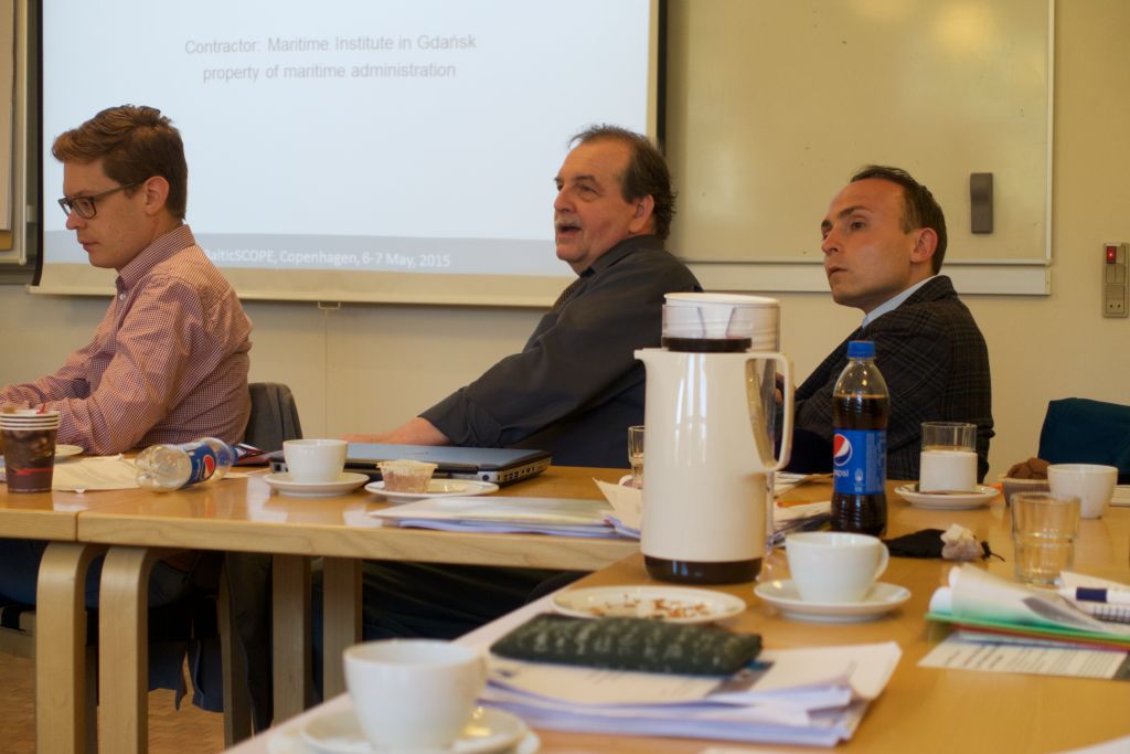
6 - 7 May 2015 in Kopenhagen, DENMARK
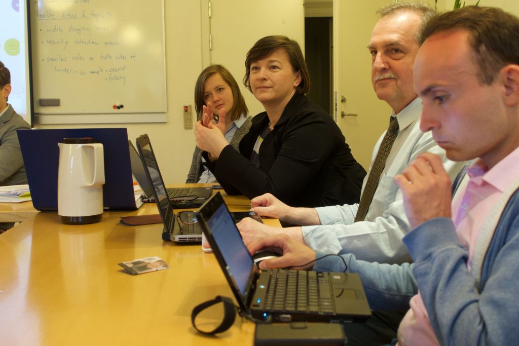
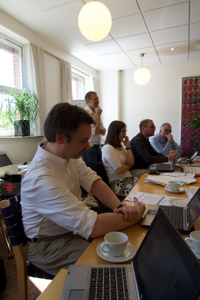
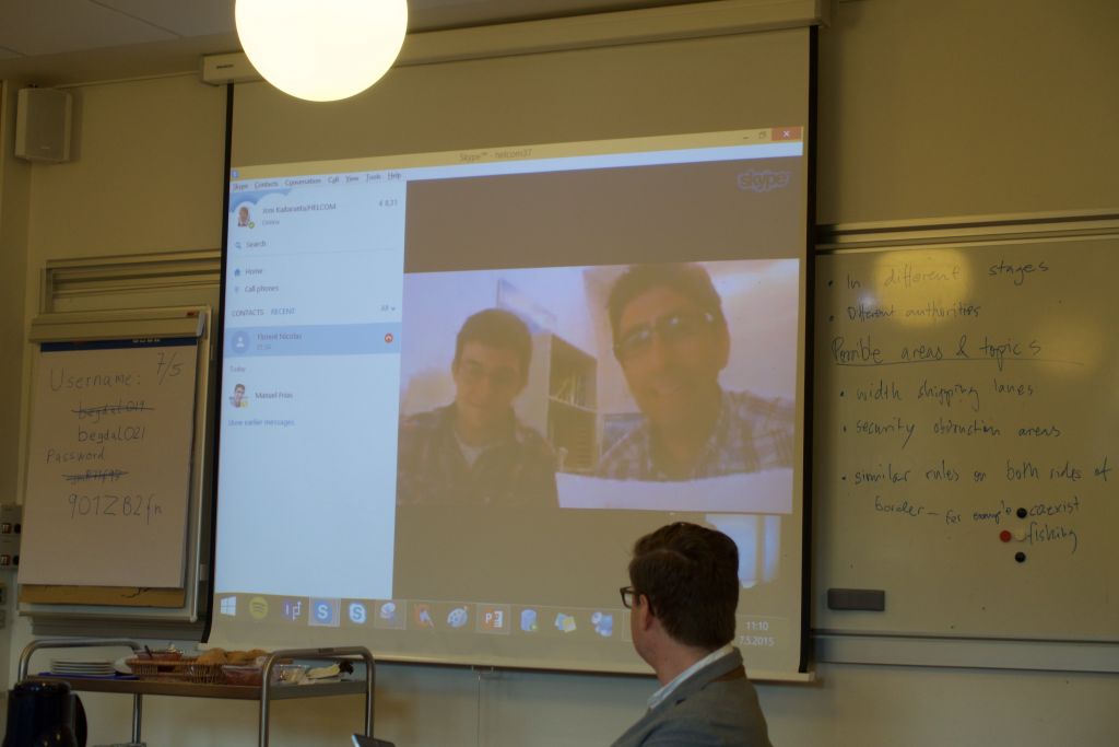
During the meeting, planners gave an update of the maritime spatial planning process in their countries. They highlighted the relation with the land-based planning systems and the legal status of the MSP plans. As input to the discussion each partner elaborated a presentation about one topic while they focused on transboundary issues and implications for the planning process:

Shipping/Transport (DK)

  • Hot issue in the International Maritime Organization (IMO).
  • Clear conflict between OWFs and shipping. If shipping routes are to be moved, the risk for collisions and fuel consumption increases.
  • Each country has a different legislation regarding navigation and fishing.

Energy (DE)

  • Other Baltic Sea countries have the right to put energy cables in the EEZ so it is good to plan for them in advance.
  • Transmission systems are a challenge.
  • Prospective connections planned to Sweden and Denmark.
  • There is a lack of official information from other countries on good connection points.
  • In Sweden and Poland it is up to the investors to finance and build energy infrastructure.

Fishing and aquaculture (SE)

  • Other sectors, namely shipping and OWF and other infrastructure installations in the Baltic Sea are affecting marine habitats.
  • The Common Fisheries Policy needs to be taken in to account when including fishing in planning processes since it holds rules allowing where and when fishing is allowed.
  • Much data can be found for large scale fishing, whereas there is less for small scale fishing.
  • Displace project – A spatial model fisheries to help MSP.

Nature protection/marine protected areas (MPA) (PL)

  • In many cases protected areas still need to be identified.
  • There are great of restrictions to gather the necessary information.

Moreover, during this meeting, the data available from respective country was assessed as well as data Helcom and Nordregio can provide to Baltic SCOPE. Helcom presented AIS data on shipping updated to 2014 and offered to produce produce detailed maps, analyses of the routes done by specific ship types of vessels (e.g. cargo, tanker, passenger, recreational boats) and their seasonal deviations. Moreover, Nordregio gave a general overview of the kind of data that Nordregio produces as an indication of can be asked from them. However, the idea of this intervention was more to ask the project partners what sorts of maps do they wish to get from Nordregio rather than to present what is already available.

During the discussion about the topics, the project partners stressed that the available topic-related data should cover the whole case study area and that for the elaboration of the topic papers, they should consult the SWB group, sister-authorities in the other countries, international forums (e.g. IMO for shipping) and other projects (e.g. Baltic2 for energy). The topics were narrowed down to environment, fisheries, energy and shipping as they were considered having cross-border implications and requiring coordination. Both ought to be addressed in respective national MSPs. Aquaculture and tourism were seen as not as relevant in the context of Baltic SCOPE because their transboundary relevance is rather limited. Aquaculture is more of a national priority while tourism concentrates on the coastline. Project partners expected to focus also on specific geographical areas depending on the geographical scope of the topics/sectors. Finally, the project partners discussed that besides meetings between planners and sector experts, one big cross sectorial meeting should be arranged with planners.

FILE DOWNLOADS

DOCUMENTATION
PRESENTATIONS

HELCOM on data supporting MSP

MSP – planning status for Denmark

NORDREGIO – Socio-economic data and maps

Fisheries in South West Baltic

Shipping and transport in South West Baltic

PHOTO GALLERY
Print Friendly, PDF & Email
Share on FacebookShare on LinkedInTweet about this on Twitter